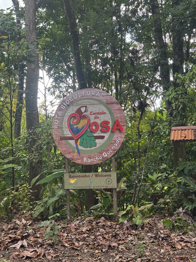
The Burned Ranch at the End of the World
Key Insights
- •Rancho Quemado transformed from a gold mining community to an ecotourism destination
- •Juan Cubillo Gomez, a lifelong miner, now guides tourists through artisanal panning
- •The Osa Peninsula holds 2.5% of all biological species on Earth
- •Community-owned tourism projects keep income in local hands
- •Conservation success requires both protecting forests and supporting rural livelihoods
- •Jaguars, pumas, tapirs and other wildlife have returned as mining pressure decreased
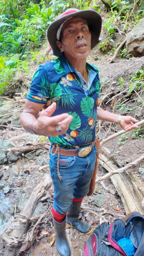
Juan Cubillo Gomez is knee-deep in the creek behind his house, holding a shallow metal pan the way you hold something you have held ten thousand times before. Without thinking about it. Like breathing.
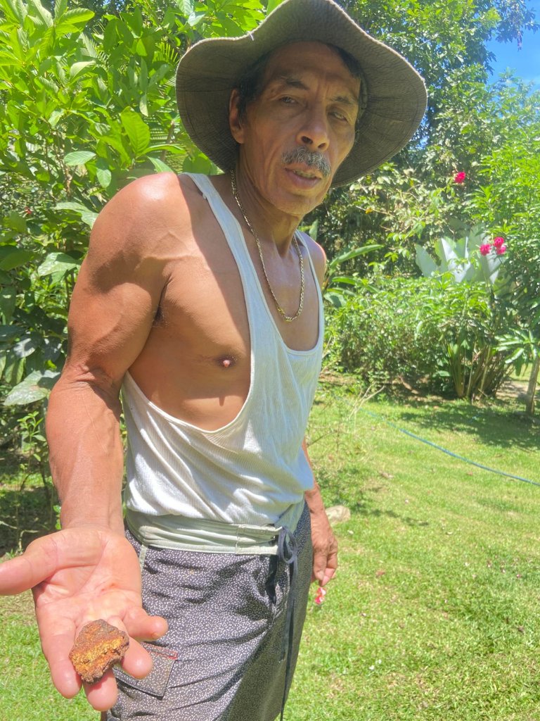
Juan Cubillo with gold
He tilts it. Rotates it slowly. Lets a thin film of water carry the lighter particles over the rim while the heavier ones — obedient to physics, indifferent to the man holding the pan — drift toward the center. A minute passes. He stops and looks at what's left.
Sometimes there's color. A fleck, maybe two, catching the morning light in a way the sand around it doesn't. Often there's nothing. After sixty years of doing this, Juan can tell the difference before most people could say what they were looking at. He learned this the way children in other places learn to read — not from a book, not in a classroom, but standing beside someone who already knew, in a world where it mattered whether you knew.
The creek crosses his 52-hectare farm at the edge of a village called Rancho Quemado, which sits at the end of 18 kilometers of red dirt road in the southwestern corner of Costa Rica, surrounded on all sides by primary rainforest so dense it muffles sound the way a library muffles sound — not silencing anything exactly, just making everything feel like it's happening at some remove from the ordinary world.
The farm is called Finca Las Minas de Oro. The Farm of the Gold Mines. By local reckoning — and local reckoning is the only reckoning available, since no one wrote any of this down — it sits on the spot where two unnamed miners found color in a creek in the early 1940s, built a shelter, went out hunting, and came back to find their rancho had burned to the ground. The village that grew up around that spot kept the name: Rancho Quemado. In Spanish that means the Burned Ranch. It sounds like something a place earns rather than something it's given. This one earned it.
Juan says he first came to this land more than forty years ago, arriving with his mother. Others tried to stay here over the years — tried to work the land, to settle it, to profit from what lay beneath. Juan says none of them lasted. Something about the place, he says, would not let them. He is the only one who remained.
He doesn't find much gold these days. He's not especially trying to. What he has worked out, in the patient way of a man who has spent a lifetime learning to read rivers, is that visitors will pay to watch him look — to stand on this bank and understand, in their own hands and their own backs, what it actually cost to build a life from a jungle creek. They come from France, Germany, the United States. They photograph the pan. They ask how long it takes. Juan tells them: six hours of work, one cubic meter of sand, and if the creek is feeling generous, a single gram. They are, without exception, slightly appalled.
"I was something else," he said, with the flat precision of a man describing a weather system that has passed. "I was a hunter, a predator, a mountain destroyer."
That sentence — its candor, its lack of theater — carries most of what you need to understand about Rancho Quemado. What it was. What it cost. What it is, slowly and imperfectly, becoming. Juan Cubillo's life has tracked every phase of this place's history, from the gold rush his father was born into, through the national park that rewrote every rule, through the evictions and the decades of grinding nowhere that followed. He is not a symbol. He is a man with sixty years of knowledge in his hands who had to decide, somewhere in his sixties, what to do with all of it.
He is also, at this point in his life, raising his children alone. Juan says he lost his wife. He doesn't say more than that. The farm continues.
Before the History, the Forest
In the dry season — which in Rancho Quemado means it will rain in the afternoon rather than all day — the light comes into the canopy at an angle that turns each leaf into something separately lit, like a window cleaned from the inside. The trees here are old enough to have stopped competing vertically and started simply occupying space: ceibas with roots like cathedral buttresses, strangler figs that have consumed their host trees so completely the original trunk is only an outline inside the lattice. The understory is thick enough that you can stand in it and see no sky. The effect isn't claustrophobia. It's something closer to being inside something that is breathing.
The sound in a primary rainforest at dawn is not what nature documentaries suggest. It is loud. Howler monkeys start before light does — a sound somewhere between a roar and a groan that carries three kilometers and makes first-time visitors bolt upright convinced something structural has failed. By the time the sun clears the ridge, the birds have piled on: scarlet macaws in pairs, the motmots' hollow two-note loop, the rattle and shriek of a hundred species doing exactly what they do every morning, as they have done every morning here for longer than any of the names we've given them.
The Osa Peninsula — 35 miles long, 20 miles wide, poking into the Pacific at Costa Rica's southwestern tip — holds, by the most widely cited estimates in conservation literature, roughly 2.5 percent of all biological species on Earth. Scientists argue about the precision. No one argues about the underlying reality: this small peninsula holds things found nowhere else. Five wild cat species share the same river drainage. A single hectare of forest here may contain more tree species than all of northern Europe. The poison dart frog crossing Juan's garden path this afternoon — thumbnail-sized, traffic-cone orange, toxic enough to kill a bird — exists in this exact form on this peninsula and nowhere else in the world.
Juan grew up in that world and, for the middle decades of his life, systematically took it apart. He was not unusual. He was doing what the economics demanded. But understanding how a man arrives at that position — and how a village arrives at it — requires going back much further than Juan. Further back than the gold rush, further back than the Spanish, back to the people who understood this peninsula first and found their own ways to take it apart, and their own ways to grieve.
Ancient Ground
People have walked the Osa's ridges for at least eight thousand years. By around 700 CE, a sophisticated chiefdom had emerged across the Diquis river delta — the people now called the Diquis, a name rooted in the Chibchan languages of southern Costa Rica meaning something close to great water. They were skilled metallurgists who worked the same rivers Juan works today, panning alluvial deposits for gold, melting it in charcoal fires, hammering it into pendants and ceremonial figures of quiet, precise beauty. Thousands of those objects survive in the Museo de Oro in San José. You can stand in front of them and think about the patience required. The same patience. The same hours bent over the same rivers.
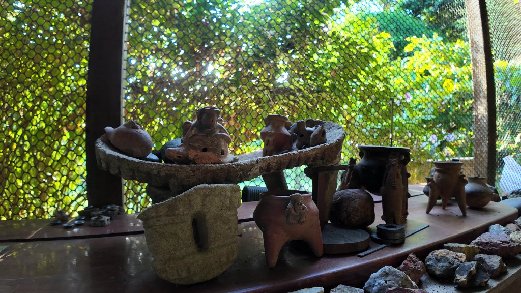
Diquis artifacts and ceremonial pieces
What the Diquis left behind that no one has satisfactorily explained are the spheres. More than 300 stone balls scattered across the delta and the nearby island of Caño, the largest stretching 2.57 meters in diameter, carved from dense volcanic gabbro with hand tools and abrasive sand. The finest are worked to a degree of roundness that approaches the practical limit of what human hands can achieve without instruments — though scholars note that precision varies across the full collection, and the most remarkable specimens are exceptional, not typical. Their purpose is genuinely unknown. Maybe astronomical markers. Maybe political monuments — status objects for chiefs who needed their authority made solid and round and permanent. Maybe something none of us have thought of yet.
When gold hunters arrived in the twentieth century, they dynamited dozens of the spheres on the conviction that something valuable must be hidden inside. It wasn't. Stone all the way through. What was destroyed in those explosions wasn't gold but context — the spatial logic of a civilization that left no alphabet, whose meaning existed partly in how these objects related to each other and to the sky above them. UNESCO designated four sphere sites as Costa Rica's first cultural World Heritage property in 2014, the country's fourth UNESCO listing overall. The designation came more than fifty years after the dynamiting began.
The Spanish came in the early 1500s. Around 1522, an explorer named Gil González Dávila pushed down the Pacific coast and encountered a local chieftain whose name, or the name of his territory, sounded to Spanish ears like Osa. The word attached itself to the land. The chieftain did not survive long enough to have opinions about it.
The Boruca people — heirs to the Diquis political order, who had held this coast for generations — refused conversion with a consistency that wore Spanish patience thin. They were called Diablos for it. The Boruca kept the name and made it their own: then devils we are. Their descendants still gather each December in the mountain village of Boruca for three days of ceremony called El Juego de los Diablitos, in which masked figures representing the Boruca chase and defeat a figure representing the Spanish bull. The ceremonies have been running for as long as anyone can remember. They will probably outlast most things we consider permanent.
Disease did what warfare didn't. Post-contact population collapse among the indigenous peoples of the Osa exceeded 80 percent within a generation. After that, for roughly three hundred years, the Costa Rican state used the peninsula as an informal penal colony — criminals deposited there and left to manage, the crocodile-thick rivers and the fer-de-lance on every path doing the work of walls. It was, in its way, an acknowledgment: the Osa was beyond the reach of organized things.
The First Rush
Juan Cubillo's father was an orero. A gold man. His father's father too. This is not unusual in Rancho Quemado.
The first serious wave of miners hit the peninsula in 1937, when finds along the Río Tigre triggered a rush that brought an estimated 2,000 people onto the Osa within two years. They built a boomtown at Madrigal Beach: a movie theater, a cantina, a brothel, and the kind of economy that runs entirely on scale weights and the honor of men who have nothing much left to lose.
The gold was real. Alluvial deposits in the riverbeds, purity exceeding 21 karats — among the richest placer gold in Central America. The arithmetic of getting it out was less encouraging. Six hours of work, one cubic meter of sand, and if the river was in a generous mood: one gram. A very good day might yield twenty. Many days produced nothing at all.
Miners paid for food with gold dust weighed on cantina scales. In Puerto Jiménez, not long ago, a child could leave a pinky-nail-sized piece of ore on a shop counter and walk out with a chicken, potatoes, and vegetables. The economy had a certain blunt poetry. Nothing about it was built to last.
They gave each other names the way people do when they live too close for ordinary distance to work: Mosquito, Crazy Bird, Big Leg, the White Monkey, Hatchet Face. They lived in open-walled ranchos built for the heat. When gold prices dropped, they hunted alligators for hides and paca for meat, steadily emptying the forest of the animals that held it together. Some used mercury to recover trace gold, poisoning the rivers they drank from and worked in. "No one ever seemed to die of old age," one veteran of the gold rivers recalled. "It was always something."
Among the more vivid characters working the rivers in those decades was Patrick Jay O'Connell — red-haired, green-eyed, an American from Indiana who arrived in Costa Rica in the 1960s and simply never went back. He was known as "Patricio," or "The Goldwalker." He bought and sold ore from miners deep in the jungle, moving through territory with jaguars and armed men apparently by force of personality alone. Puerto Jiménez in those years, he recalled, was "a muddy frontier town that lived and breathed gold — a handful of bars, a few stores, no hotels. Saturday nights, everyone was drunk, fighting, and laughing beneath the flicker of kerosene lamps."
Juan was born into this world. He learned the creek before he could read a page. Which bends held the richest deposits. How the wet season moved the gold. Where the fer-de-lance sheltered in the dry months. The forest was a warehouse, and the measure of a man here was how well he could work it.
It would take him most of his adult life to understand that this was exactly the wrong way to think about it.
The Octopus and the Settlers
While the oreros worked their rivers, something larger was playing out around them.
In 1937 — the same year the first rush broke — the United Fruit Company arrived on the Osa through a land arrangement with the Costa Rican government. They were known across Latin America as el pulpo — the octopus. The name described the way the company's economic reach extended into every corner of every country it entered, gripping things and not letting go. UFC came to the Osa in retreat: Panama disease had gutted its Atlantic-coast plantations, and a major workers' strike in 1934 involving tens of thousands of laborers had shattered what remained of its Atlantic operations. New land was the plan. The Osa, theoretically, had it.
In practice, the Osa refused. The rain never stopped. The terrain ate machinery. The soil wouldn't grow bananas. By 1943, United Fruit conceded — deeded its thirteen Osa holdings, 47,513 hectares, roughly a third of the entire peninsula, to a retiring company engineer and walked away. The engineer's widow sold the lot in 1957 to an American logging concern called Osa Forest Products for $450,000. OFP registered concessions across 60,000 hectares, and hundreds of families who had farmed and mined that land for decades were reclassified, overnight, as squatters. A survey in 1963 counted 83 existing homesteads inside OFP's titled land.
Accounts from the early 1970s describe how that tension finally broke: settlers said to have seized OFP equipment in the Corcovado Basin, warnings that blood would flow if evictions continued. Whether those confrontations were exactly as dramatic as they are sometimes told is hard to verify now. Their political effect was real enough.
Pushed by the settlers' resistance and by scientists who had spent a decade documenting the forest's extraordinary biodiversity, the Costa Rican government arrived at a decision. On October 24, 1975, President Daniel Oduber signed the decree creating Corcovado National Park — 42,000 hectares of protected lowland tropical rainforest, the largest such block on the Pacific coast of the Americas. It was one of the most significant conservation decisions in Central American history, and it did not come free. Around 166 rural families — roughly 1,500 people — were relocated from within the new park's boundaries, a process that cost between $1.2 and $1.7 million and more than a year of negotiations. The gold miners, however, were not part of that calculation. Nobody had quite worked out what to do about the gold miners.
Juan was a young man when the park was created. He was mining. He kept mining. The park was a line on a map, and the river had never heard of it.
Oro
Before the second great rush came, a stranger arrived on the Osa and camped, as strangers do, on Juan's land.
Cizia Zykë
His name was Cizia Zykë — born Jean-Charles Zykë on February 25, 1949, in Taroudant, Morocco, the son of a French-Albanian ex-Legionnaire and a Greek mother. He was by his own description an adventurer, a con man, and a man running from something — drawn to the Osa around 1980 by rumors of concentrated gold in the Rancho Quemado territory. He assembled what he described as a band of 35 men — ex-convicts, drifters, and fugitives — occupied a claim in the jungle on land that would eventually become Juan's finca, and built a fortified compound with cement walls and a generator in the green nowhere.
The operation, according to sources who later retraced his route, extracted up to three kilograms of pure gold per day at its peak from the vein running beneath what is now Finca Las Minas de Oro. Zykë eventually faced charges of drug trafficking and counterfeiting and fled to Panama, reportedly carrying 3,000 grams of gold.
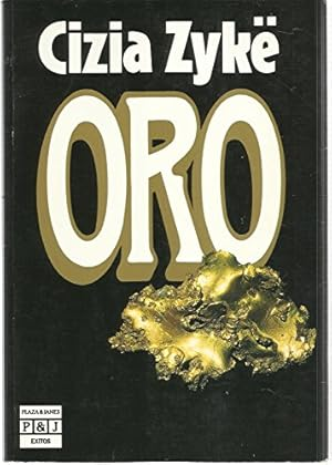
The Oro book cover
His account of all of this became the memoir Oro, published in France in 1985. It sold millions of copies, was translated into multiple languages including Spanish and German, and earned him an appearance on Apostrophes — the most prestigious literary television program of its era, hosted by Bernard Pivot. During the broadcast, a letter of outrage from the Costa Rican ambassador was read aloud on air. Critics called Zykë a mythomaniac. His readers called him a hero. He was, at minimum, a riveting witness to what this land once was. He died in Bordeaux on September 27, 2011.
Juan says others worked this land before him — names he carries in his memory from childhood. Among them, he says, was a man named Figueres — a surname that carries enormous weight in Costa Rica, where it belongs to one of the country's most powerful political dynasties. Juan's claim could not be independently verified, and no public record links any member of the Figueres family to Osa gold mining. But on a peninsula where political power and resource extraction have overlapped for a century, the claim is not implausible. It sits in the article where Juan placed it: as something he says, and something worth noting.
Juan himself had watched all of this from the edge. He has been offered, he says, more than 600 million colónes — roughly $1.1 million — for the finca. Land on the Osa Peninsula, with primary forest, waterfalls, documented gold deposits, and a connection to an internationally famous book, commands that kind of price. He has refused every offer. "This place," he says, "is worth more than what is under the ground."
All Hell Broke Loose
Then the economy fell apart.
In the early 1980s the colón collapsed, unemployment surged, and United Fruit's banana operations in the Golfo Dulce — which had kept thousands of families housed and fed for a generation — shut down entirely. Thousands of men were suddenly without work and within reach of a peninsula with gold still glinting in its riverbeds.
The second Osa gold rush made the first look modest. By 1984, an estimated 2,000 miners were working the rivers and beaches. A government survey the following year found 1,500 operating illegally inside Corcovado and another 3,500 in the surrounding territory — five thousand people in total tearing at the forest. The settlement at Madrigal Beach swelled to 500 people in 200 structures of black plastic and scavenged timber.
Álvaro Ugalde, the director of Costa Rica's national parks — the man historians call the father of the park system — watched what was happening and said what became one of the more famous lines in Costa Rican conservation history: "That's when all hell broke loose in Costa Rica." University of Pennsylvania biologist Dan Janzen came in, ran an impact assessment, and found that some 1,500 miners had caused serious damage to a third of the park's area — landslides, stream disruption, changes to light and temperature cycles that would take years to correct. His recommendation: get everyone out.
On March 2, 1986, the Rural Guard moved in. Fifteen hundred miners were expelled. Some left quietly. Many didn't. They scattered into the surrounding communities — Dos Brazos, La Palma, Rancho Quemado — where artisanal mining continued in the gray zone of legality for years.
The wound didn't close. In 2004, nearly twenty years after the eviction, displaced miners reappeared in San José — outside the presidential offices at Casa Presidencial. They brought the same black-plastic shelters they had used in the forest and camped there for more than six months, representing what reports at the time put at around 900 people, demanding compensation for 1986. They received nothing. Which is a sentence worth sitting with: the government that built its international ecological reputation on Corcovado could not bring itself to compensate the people whose removal had made that reputation possible.
The Burned Ranch
Rancho Quemado had been growing slowly through all of this, accumulating the flotsam of the gold economy the way a river bend accumulates driftwood.
The first commercial foothold came in 1971, when a man named Trino Ureña began selling goods from his mother's house. The first children born in the village itself arrived in 1973: Oscar and Roger Ureña. The first school opened in 1979, with seven students. The first car — a Chevrolet, nicknamed "The Powerful" by the community — was an event.
There was no electricity. No telephone. The village sat 15 kilometers from Rincón on one side and Drake Bay on the other, at the end of a road that the rainy season converted to soup, receiving up to 5,000 millimeters of rain per year — enough to make it one of the wettest inhabited places in the Americas. When the community acquired a battery-operated television so people could watch the nightly telenovelas, residents took turns making the full-day trip out to the nearest electrified town to recharge it. It was considered worth it.
The village occupies a peculiar position: inside the Golfo Dulce Forest Reserve, a protected buffer zone of approximately 60,565 hectares that wraps around Corcovado's southern flank. The forest presses in from every direction. Howler monkeys announce dawn from the canopy above the soccer field. Poison dart frogs cross the main path in the afternoons. At night the darkness is total and the sound is enormous.
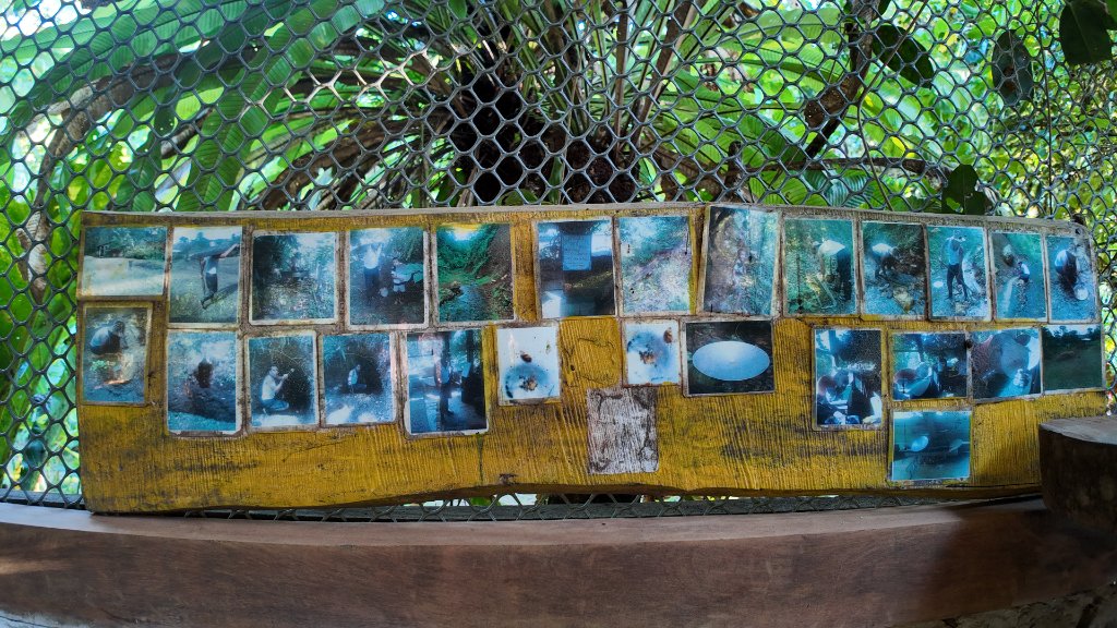
Community guides in the forest
Juan says the forest has its own terms. Tapirs come down from the hills at night and breathe near the window of his cabin. He has woken to them. He describes it without drama, the way you describe weather — as a fact about a place, not a miracle. The miracle, if there is one, is that after everything this land has been put through, the tapirs are still coming down from the hills at all.
What the Forest Actually Contains
Corcovado National Park covers 42,000 hectares of primary rainforest — the largest intact block of lowland tropical forest on the Pacific coast of the Americas. Within it, and in the surrounding reserve where Rancho Quemado sits, live creatures that have retreated from everywhere else on Earth.
The documented count includes more than 500 tree species — more than 100 per hectare in the richest zones. There are 140 mammal species, all four of Costa Rica's monkey species (howler, spider, squirrel, and white-faced capuchin), Bair's tapir, giant anteaters, and five of the country's six wild cat species: jaguars, pumas, ocelots, margays, and jaguarundis. Around 367 bird species have been recorded, including Central America's largest population of scarlet macaws. Some 25 species of dolphins and whales use the surrounding Golfo Dulce waters.
Rainforest canopy and wildlife habitat
The forests around Rancho Quemado harbor the Black-headed Bushmaster (Lachesis melanocephala) — one of the world's largest and most venomous pit vipers, found only in this corner of Costa Rica, studied by the international Melanocephala Conservation Project that operates from a research base in the village itself. The community's Sendero Sensorial — a short accessible trail near the center of town — is described by visiting biologists as a "frog sanctuary," thick with Golfo Dulce poison dart frogs and glass frogs whose translucent skin reveals their beating hearts.
In August 2024, a pair of Italian tourists on a guided walk in Corcovado watched, simultaneously and from the same vantage point, a jaguar on one riverbank and a puma on the other. The sighting made international news. For the people of Rancho Quemado, who have watched these rivers for three generations, it was not particularly surprising. What was surprising was that anyone thought to be surprised.
When Gold Turned Green
By the turn of the millennium, the mathematics of life in Rancho Quemado had become brutal. Gold mining was effectively illegal. The forest was protected, which meant the logging and hunting that had supplemented incomes for decades were also gone. Two park rangers were responsible for the entire 60,565-hectare Golfo Dulce Forest Reserve. African palm and cattle ranching provided meager income. The young left for San José.
The pivot, when it began, came slowly and from the inside. In 2006, the University of Costa Rica arrived in the community with training programs in business planning, natural resource management, and wildlife protection. In 2009, the Development Association of Rancho Quemado began building what would become the Osa Trail — a community-owned ecotourism route designed not just to attract visitors but to keep the money they brought in the hands of the families who lived there.
In 2012, a program called "Advancing Women" brought economic training and start-up support to 16 women entrepreneurs in the community — the first formal initiative to build economic independence for women who had largely been confined to domestic roles in the gold economy's social structure. In 2014, the broader Caminos de Osa project — built on research from Stanford University's Woods Institute and supported by the CRUSA Foundation — knit rural tourism enterprises across the peninsula into four thematic routes. The Camino del Oro, the Trail of Gold, runs directly through Rancho Quemado. Thirty-five local enterprises entered the tourism market.
And then there is Juan's finca. He keeps what he calls el museo in a corner of the main room: old weighing scales, quartz shot through with gold, tools worn smooth by decades of hands. A chunk of rock laced with gold-bearing veins. The objects are not labeled. They don't need to be — Juan is the label. He can identify by touch what it took other men instruments to measure.
What changed, and when, and why, is a question he doesn't answer in a straight line. He talks about his wife, Rosa, the woman who won a competitive two-year business development grant — selected from among 50 applications — that funded the transformation of the finca into a tourism destination. He talks about the visitors who started coming, the French tourists especially, arriving already knowing the name Zykë, already half in love with a place they'd read about in a paperback. He talks about the moment he realized the creek itself — the one he has panned for six decades — was more valuable as a lesson than as a source of income.
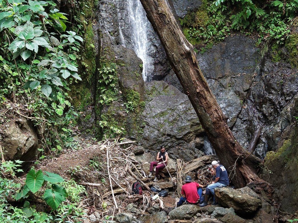
Waterfall in the forest
Today Juan guides visitors through the mechanics of artisanal gold panning while Rosa's recipes are still served: the arepas de orero, the sweet flatbread miners carried into the jungle as trail food, warm from the pan. It is a performance that is also a reality. Juan still pans for gold. He just explains what he is doing to paying guests while he does it.
He is developing, he says, a new project: low-impact tourism for small groups, walking the forest above the finca, reaching waterfalls that most visitors never find, conducting night hikes among the frogs and snakes. The same country, seen differently.
The Watchers
Down the road from Juan's finca, Johnny Rodríguez and Noemí Quirós operate the Trapiche Don Carmen, a horse-powered sugarcane mill producing compressed brown sugar cakes, sobado candy, and fresh cane juice. The mill runs on the same principle it always has. What changed is that visitors now pay to watch.
In 2015, nineteen community members completed training with SINAC and the nonprofit Aves de Osa to become certified biological monitors. They now run a round-the-clock wildlife monitoring program across the forest — camera traps, bird counts, amphibian surveys — tracking the same animals their parents once hunted. Camera trap data has confirmed a meaningful recovery in white-lipped peccary numbers, a herd that conservationists say had fallen to perhaps a few hundred individuals by the early 2000s after decades of pressure.
Between 2017 and 2019, National Geographic Expedition Cruises and Lindblad Expeditions brought passengers directly to Rancho Quemado, generating over $200,000 in direct income for community members. The Development Association rebranded as Corazón de Osa — Heart of the Osa — and earned certification from Costa Rica's national tourism institute. They bought a minibus. They built a viewing platform at Laguna Chocuaco, the freshwater lagoon at the village's edge where caimans surface at dusk.
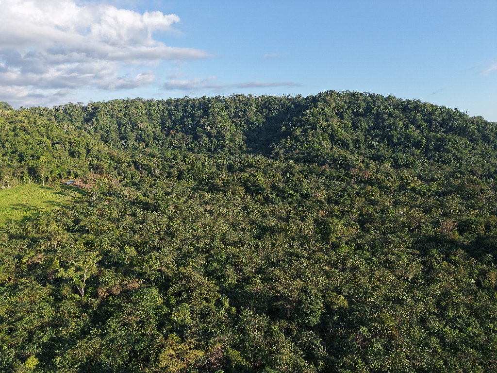
Aerial view of primary rainforest
The Road Back Out
This is not a story with a clean ending.
In January 2026, the community's own biological monitoring group reported finding ten white-lipped peccaries — nine adults and a juvenile — slaughtered inside the Golfo Dulce Forest Reserve, near the settlement of Vanegas. Poaching had not been solved. Two rangers still cannot patrol 60,565 hectares. Illegal gold mining continues in the surrounding areas, now organized by networks that recruit vulnerable community members and move ore out through Panama and Nicaragua. COVID-19 erased tourism income for years. The road washes out every wet season. There is still no ATM.
The forest has its own accounting of all this, indifferent to the outcomes of human decisions. Geological surveys suggest the peninsula may have yielded 20 tonnes of gold since pre-Columbian times — a figure cited in secondary sources that is difficult to verify precisely. Local legend holds that the largest gold nugget ever found in Costa Rica came from Isla Violín — said to weigh around fourteen pounds, though the figure varies in the telling, as legends do.
What does not vary is what you find if you drive those 18 kilometers of red dirt and arrive on a weekday morning and sit for a while. The man who spent his life taking the mountain apart is down at the creek, showing visitors how to find gold in it without breaking it. The howler monkeys are in the canopy above the soccer field, doing what they've always done. A tapir will come down from the hills tonight, as it has come down every night for longer than the village has had a name.
The burned ranch is still burning — slowly, deliberately, into something else.
You Might Also Like
More stories on similar topics
Share this story
Related Stories
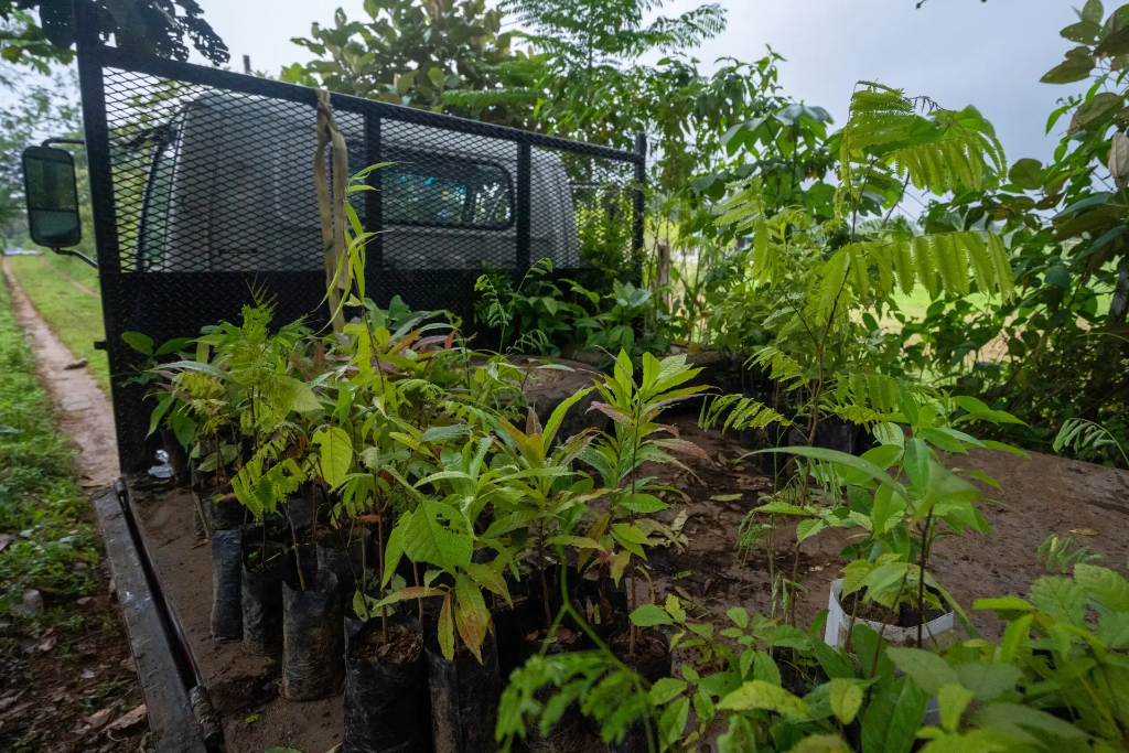
Successful Reforestation Project in Osa Peninsula
Grow Jungles partnered with Osa Conservation to plant 1,500 native trees across a two-hectare plot on the Osa Peninsula, including critically endangered Canelillo species. This reforestation initiative demonstrates strategic conservation efforts to restore biodiversity in one of the world's most biodiverse regions.
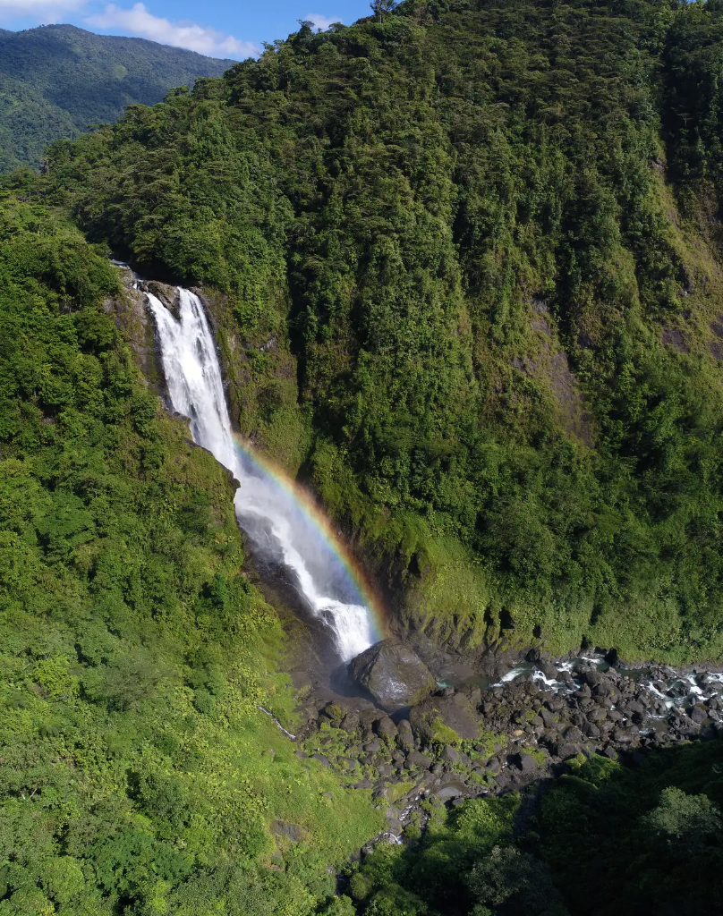
Talamanca: Conservation's Next Frontier
The Cordillera de Talamanca stretches from Southeast Costa Rica to Western Panama, housing some of Central America's most biologically diverse ecosystems and serving as a critical refuge for endemic species and indigenous communities.
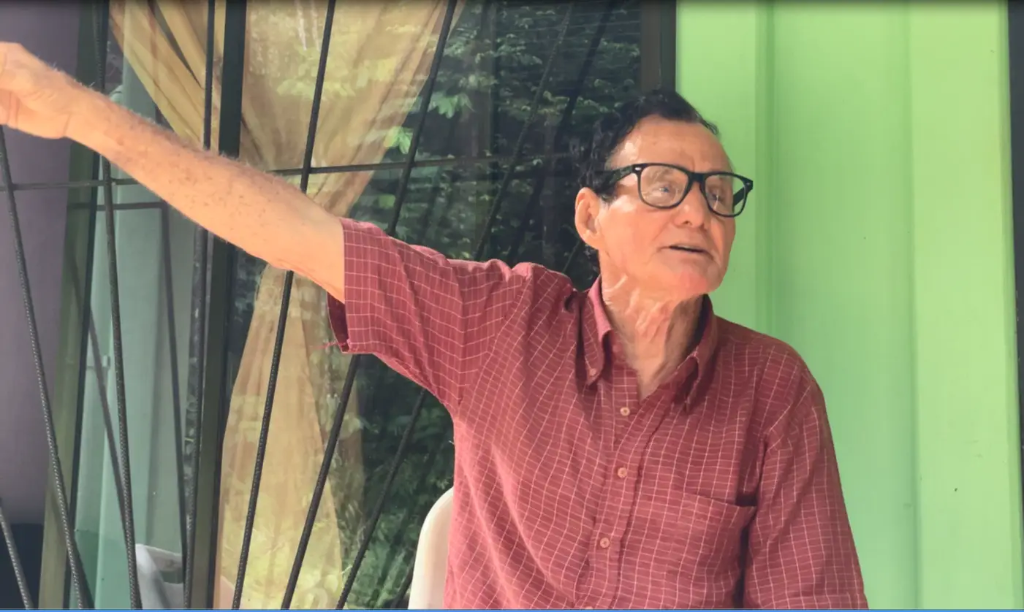
Costa Rica's Legendary Environmentalist: Alcides Parajeles
Meet Alcides Parajeles, the fearless 'peasant environmentalist' of Costa Rica's Osa Peninsula who has dedicated his life to fighting poaching, trafficking, and illegal logging—despite death threats, harassment, and a government that often abandons its defenders of nature.